News | Mapping Vehicle Air Pollution Based on Sociodemographic Factors
Stop the VideoNews
by Naomi Suzuki & Brittany Cooper
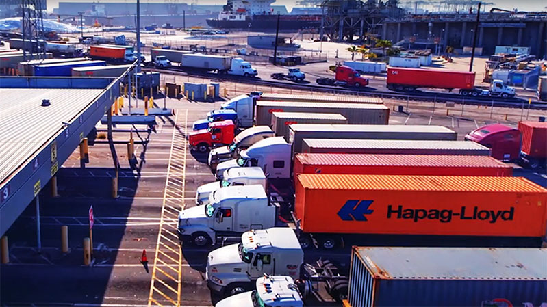
Air pollution is an environmental problem that affects us all but does not affect us equally. Vehicle related air pollution, including small particulate matter (PM2.5) is more concentrated along more heavily trafficked routes, many of which traverse lower income minority neighborhoods. Reducing these disproportionate impacts requires intentional and environmentally conscious interventions by city planners and policymakers.
The historical pattern of highway building has placed major transportation corridors in low-income areas of color. White affluent neighborhoods were more politically powerful and often able to lobby successfully to keep major highways out of their neighborhoods. These patterns continue to exist today. While there is increased acknowledgment of racial injustice with respect to vehicular particulate matter exposure, there is less research about the intersection between a community’s sociodemographic and the production of and exposure to pollution. That is, are communities exposed to pollution in the same proportion as they produce pollution, or are these patterns related to sociodemographic factors?
In the PSR research report “Race, Class, and the Production of and Exposure to Vehicular Pollution in Los Angeles,” Assistant Professor Geoff Boeing from the University of Southern California (USC), and graduate students Yougeng Lu, Clemens Pilgram, and Peter Mannino examined how the effects of vehicular air pollution are not necessarily born by those who generate it. The research included collecting data on traffic volumes in different communities and their exposure to vehicular air pollution, analyzing the data according to race/ethnicity and socioeconomic status of the areas, and observing how this relationship varies across the region.
It is well known that exposure to air pollution from cars, including particulate matter of 2.5 microns or smaller (PM2.5), poses a significant risk to human health. Boeing and his team explored how pollution levels differ based upon commuting patterns and the duration of those commutes. They analyzed the relationship between driving and emission exposure of the residents, controlling for local demographics - including socioeconomic status - and street network characteristics. They then simulated different commutes to identify traffic flows and who most frequently travels on these routes.
They found that residents of communities that drive more tend to be less exposed to vehicular pollution themselves. They conclude that exposure to PM 2.5 is heavily influenced by demographics, as well as residential locations, weather conditions, travel habits, and racially or economically motivated planning decisions.
The researchers state, “Our commute simulation demonstrates how commuters from majority- White tracts disproportionately travel through majority non-White areas to drive to work. Decades of racially-motivated freeway infrastructure planning and residential segregation shape today’s disparities between who produces vehicular pollution and who is exposed to it.”
Boeing and his team hope that their results will be used to identify constructive paths forward for city planners and policymakers, while drawing attention to the potential impact on local communities if they fail to do so.

News Archive
- December (1)
- November (6)
- October (4)
- September (2)
- August (3)
- July (4)
- June (3)
- May (7)
- April (8)
- March (11)
- February (8)
- January (7)
- December (7)
- November (8)
- October (11)
- September (11)
- August (4)
- July (10)
- June (9)
- May (2)
- April (12)
- March (8)
- February (7)
- January (11)
- December (11)
- November (5)
- October (16)
- September (7)
- August (5)
- July (13)
- June (5)
- May (5)
- April (7)
- March (5)
- February (3)
- January (4)
- December (4)
- November (5)
- October (5)
- September (4)
- August (4)
- July (6)
- June (8)
- May (4)
- April (6)
- March (6)
- February (7)
- January (7)
- December (8)
- November (8)
- October (8)
- September (15)
- August (5)
- July (6)
- June (7)
- May (5)
- April (8)
- March (7)
- February (10)
- January (12)
2024
2023
2022
2021
2020
2019
2018
2017
2016
2015
2014
2013
2012
2011
2010
Major Funders


Metrans Associate Partners