Research Projects
Stop the VideoResearch Projects
STATUS: Complete
YEAR: 2011
TOPIC AREA: Safety and security
CENTER: METRANS UTC
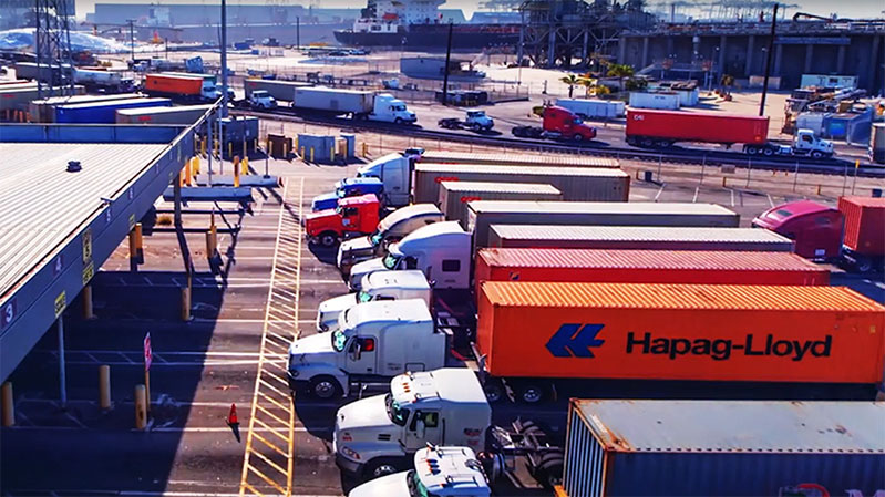
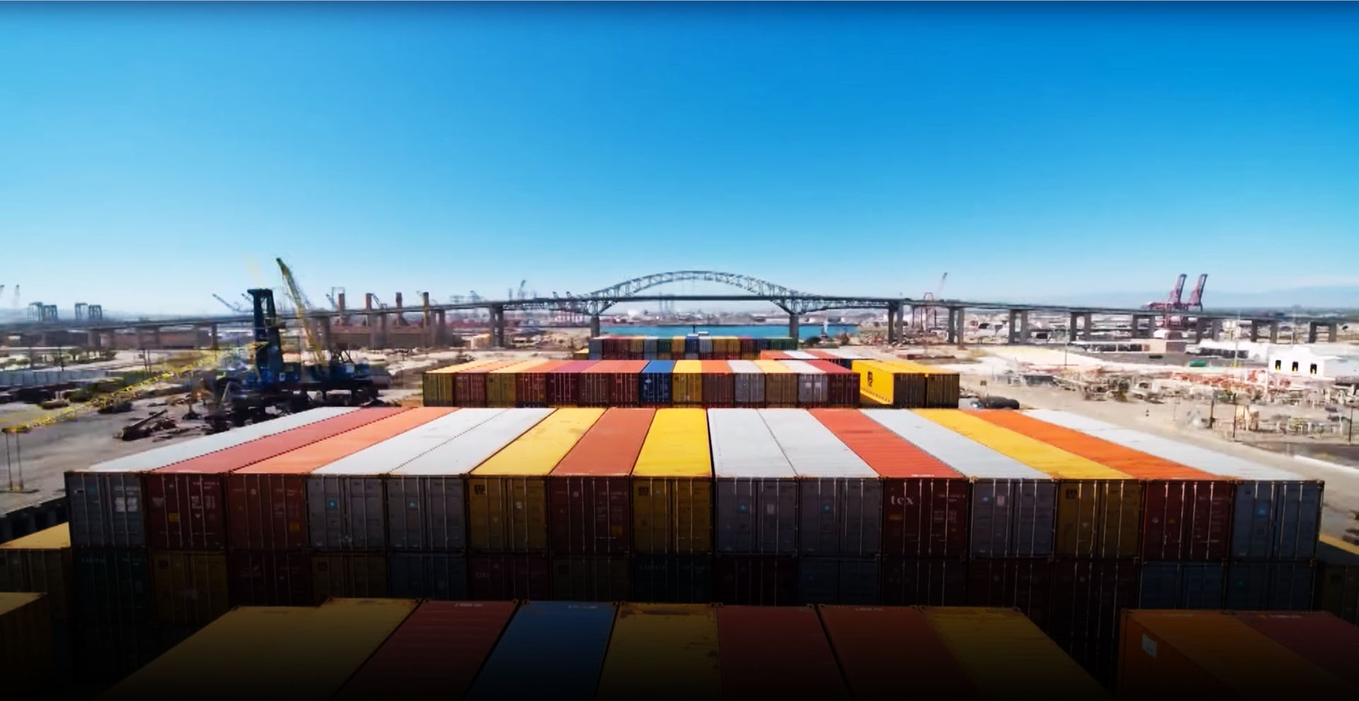
Application Development of Urban Tomography for Transportation Security at a major Los Angeles Transportation Hub (LATH)
Project Summary
Project number: MT-11-05
Funding source: Caltrans
Total cost: $50,000
Performance period: August 2010 to July 2011
Project description
This research aims to take the knowledge gained from the pilot program feedback, as well as improved technology, and make the system more compatible with security personnel needs. For instance, smartphones are energy hungry, and thus methods must be developed to balance energy costs of various transmission means (WiFi, 3G) with delay-tolerance of applications/users. Because video (ideally, high quality video for surveillance and security needs) transfers require a high bandwidth, alternative transfer methods are necessary to develop, such as "summary" videos. In effect, "summary" videos are time lapse photography, uploading perhaps one frame out of thirty initially, and then later sending the full video depending on the availability of bandwidth. Additionally, GPS does not work well indoors, and various alternative methods of location finding need to be adapted to the system. Furthermore, while initial research focused on developing the Urban Tomography system on the Symbian OS platform, since at the time of our initial work only the Nokia N95 phone had the relevant capabilities, this research aims to adapt the system to other platforms such as Android. (iPhone OS is for a smartphone camera that does not have the requisite quality.) Finally, the major unsolved problem is how to deal with a corpus of videos that may number in the thousands, so that security personnel can find videos of interest readily. This will involve the initial time/space tags on the videos, speech-to-text processing of audio on the videos to find further tags, and, more speculatively, visual analysis methods to tag each video with further information. It is possible that a "display assistant" that would enable an analyst to readily find related videos will need to be developed.
P.I. NAME & ADDRESS
Martin KriegerProfessor, Sol Price School of Public Policy
650 Childs Way
Ralph and Goldy Lewis Hall (RGL) 317Los Angeles, CA 90089-0626
United States
[email protected]
CO-P.I.
Ramesh GovindanProfessor, Department of Computer Science; USC Viterbi School of Engineering
3710 S. McClintock Ave.
Ronald Tutor Hall (RTH) 412Los Angeles, CA 90089-2905
United States
[email protected]
Major Funders


Metrans Associate Partners