Research Projects
Stop the VideoResearch Projects
STATUS: In Progress
YEAR: 2024
TOPIC AREA: Public transit, land use, and urban mobility Transportation planning, policy, and finance
CENTER: PSR
Measuring Street Network Disruptions? Impacts on Real-World Trips to Design More Resilient Infrastructure
Project Summary
Project number: PSR-23-18Funding source: USDOT
Contract number: 69A3552348309
Funding amount: $100,000
Performance period: 3/1/2024 to 5/15/2025
Project description
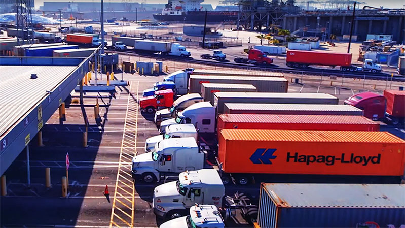
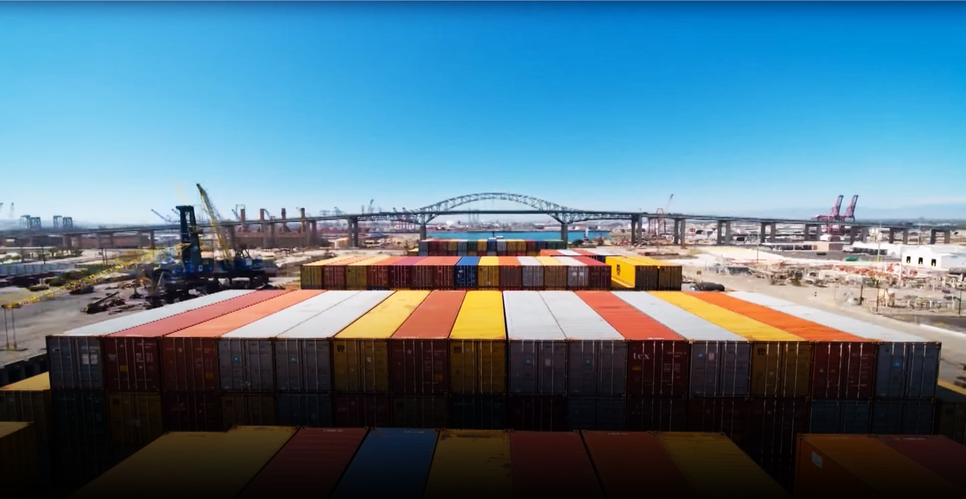
Street networks allow people and goods to move through cities, but they are vulnerable to disruptions resulting from floods, earthquakes, warfare, and terrorist attacks. Well-planned network design can make a city more resilient and robust to such disruptions. The proposed study will build on recent METRANS-funded research that quantified and measured the vulnerability of the street networks of every urban area in the world then modeled the relationships between vulnerability and street network design characteristics. This prior work simulated over 2.4 billion random trips after simulated network disruption events representing floods, earthquakes, and targeted attacks. However, its models and simulations were necessarily limited to data consistently available worldwide: for example, its trips were randomly rather than empirically distributed, and its flooding simulations used rough proxies such as elevation rather than empirical flood risk data. The proposed study builds on this prior work in several ways to identify specific resilience intervention points for policymakers and planners. It will use empirical data on trip patterns and disaster risk to identify the characteristics of road networks, trips, and communities most vulnerable to disconnection and inaccessibility following a network disruption. First it will build graph models of the street networks of all US urban areas. Then it will use 1) LEHD LODES and 2) SafeGraph data to develop per-urban area origin-destination matrices roughly representing commutes and non-work trips, respectively. Next it will simulate three types of network disruption: 1) targeted attacks (based on the most “important” points of the network, i.e., the highest betweenness centralities), 2) high spatial entropy disruptions (i.e., randomized points of failure), and 3) flooding events (probabilistically based on empirical distributions of risk from FEMA’s National Risk Index for Riverine Flooding). We will then investigate how trips 1) get disconnected by these events, leaving certain communities or destinations inaccessible, and 2) how trips that remain connected become less efficient in having to reroute following these events. Finally, we will link these changes to 1) network characteristics to understand the design/engineering characteristics of less-vulnerable underlying physical infrastructure, and 2) social characteristics to understand how disasters affect disadvantaged/isolated communities and critical infrastructure. In turn, we will identify high leverage points for planners and policymakers to protect vulnerable communities and supply chains from disconnection and inaccessibility while strengthening infrastructure to be more resilient in an era of climate change.
P.I. NAME & ADDRESS
Geoff BoeingAssistant Professor of Urban Planning and Spatial Analysis
Ralph and Goldy Lewis Hall
Los Angeles, CA 90089
United States
[email protected]
Major Funders


Metrans Associate Partners